Kastellorizo is (with the exception of the nearby islet of Strongýli) the easternmost Greek island and is situated in the Eastern Mediterranean. It lies about 2 kilometers from the Anatolian coastal town of Kaş, more or less half-way between Rhodes and Antalya. Cyprus is about 280 km (170 mi) to the south-east. It is six kilometers long and three kilometers wide, with a surface of 9.2 km². It has a triangular shape, and is oriented from NE to SW. The island features three capes: Agios Stefanos (north), Nifti (east) and Pounenti (south west); between the first two there is a wide and accommodating bay, the island's main harbor, where one finds the only town on the island. Cape Agios Stefanos, the nearest to Anatolia, is 2250m south of the modern Turkish town of Kaş (Greek: Andífli, the Ancient Greek City of Antiphéllos). Cape Nifti lies some greater distance from the Anatolian coast. The island is mountainous, with high and steep coastlines, which become more difficult to access moving west. The soil is composed of limestone, and produces only small amounts of olives, grapes and beans.
On the island there is no source of drinking water.
The Municipality of Megísti includes the populated offshore islands of Ro (pop. 15) and Strongýli (9) as well as several uninhabited islets. It has a total land area of 11.987 km².
Thursday, August 1, 2013
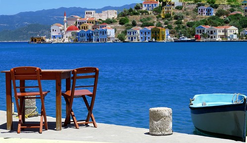
Seashore with table and boat
Subscribe to:
Post Comments (Atom)
No comments:
Post a Comment